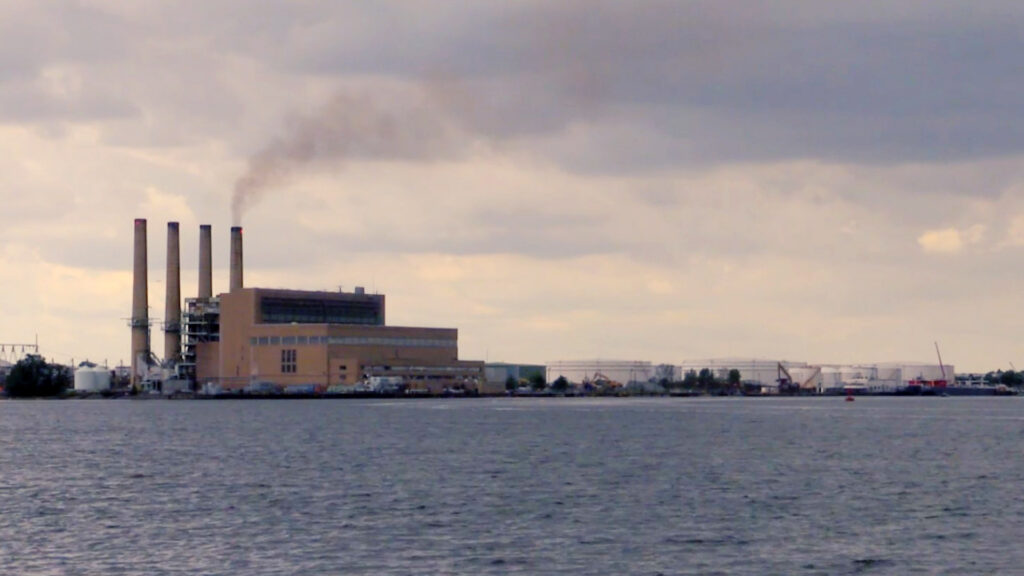
Take a first-hand look at the complexity of Aqua Survey projects. Click below to view high resolution videos that are available from our past projects.
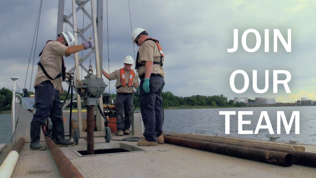
Work Should Be An Adventure
Aqua Survey is looking to hire boat captains and deckhands to join our crew.
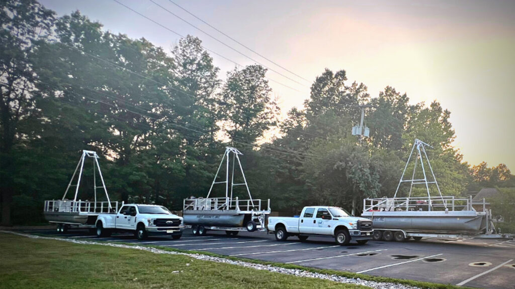
New Coring Vessels
Introducing Aqua Survey’s three new vibracoring vessels: The Manasquan, The Sandusky, and The Packanack.
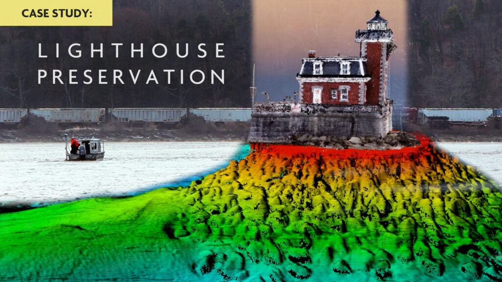
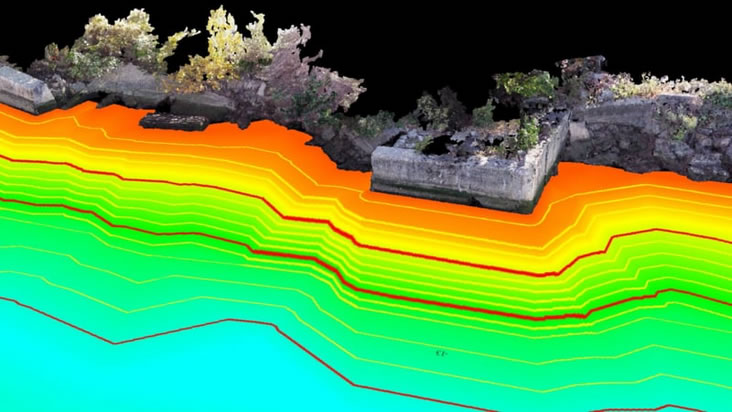
Lighthouse Preservation: A Case Study in Reality Modeling
Combining multiple survey methodologies, Aqua Survey is able to create engineering-grade 3D point cloud models that seamlessly transition between above and below water. This was a crucial support tool to the engineers assessing the structural integrity of the historic Hudson-Athens Lighthouse in Hudson, New York.
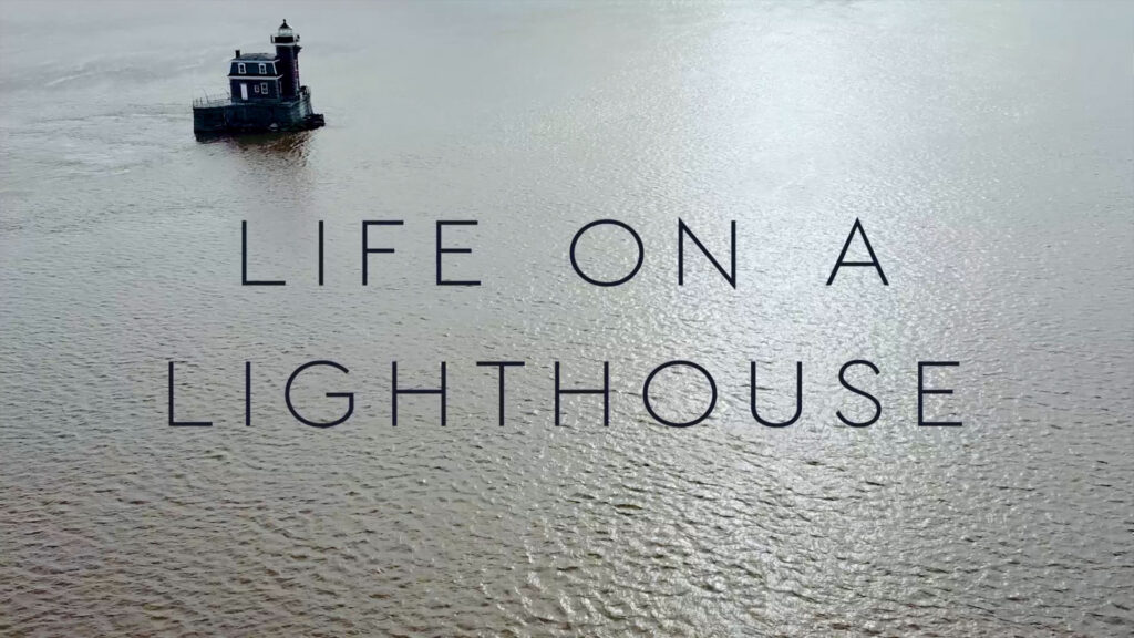
The life of a lightkeeper was difficult and unusual. A Historian, Riverboat Captain, and Lighthouse Keepers describe life in the heyday of the Hudson-Athens lighthouse.
Seamless Land & Water Surveys
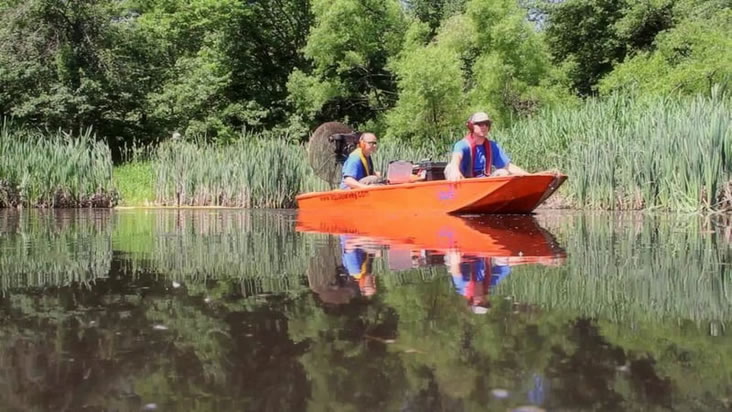
The area between land and water is one that has been difficult to survey with traditional methods. One of Aqua Survey’s specialties is creating engineering quality 3D models of this transitional zone through the application of recent technological advancements.
What is Vibracoring? Find out in under a minute. Watch as our 32ft folding-wing pontoon vessel the R/V Edison is deployed. This vessel allows up to 20ft sediment cores and provides plenty of space for processing samples on deck.
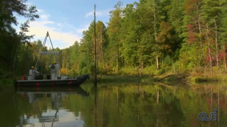
Remote Vibracoring in Daniel Boone National Forest
Aqua Survey are experts in the vibracoring field. Whether the project is in the middle of New York Harbor or in a remote section of a national forest, Aqua Survey is there with the right tools and know-how to get your job done.
Whenever we deploy our inflatable Rossfelder barge, it’s amazing to think that Jacque Cousteau’s son, Phillipe, used to go bombing around the South Pacific with it tucked away in Cousteau’s seaplane, the Flying Calypso. When I watch our field techs using one of Andre Rossfelder’s vibracore units, I think about some of the James Bond-like stories Andre told me about his youth, including his attempts to assassinate Charles De Gaulle. Andre was a fascinating man. If you have a few minutes, enjoy the video. – Ken Hayes
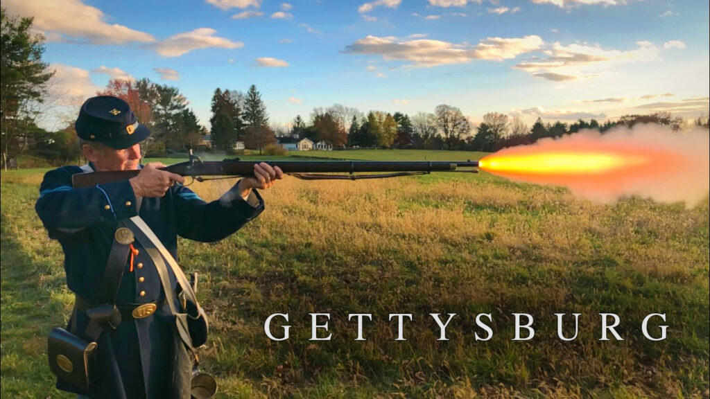
Aqua Survey recently performed a survey on private land near Gettysburg National Military Park. Fought on July 1-3, 1863, the Battle of Gettysburg was a decisive Union victory and the bloodiest battle ever fought in North America. The area surveyed is believed to have been a Confederate field hospital during the conflict.
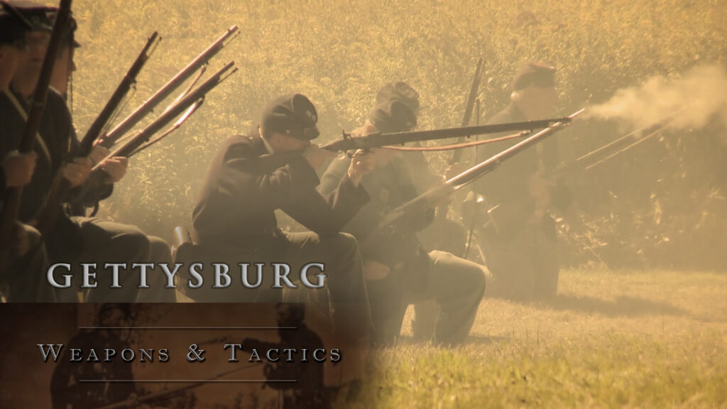
Licensed Battlefield Guide Billy Griffith goes into greater detail about the weapons and tactics used during the Battle of Gettysburg.
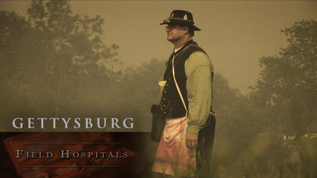
Deep Dive: Gettysburg – Field Hospitals
Licensed Battlefield Guide Billy Griffith goes into greater detail about Civil War field hospitals.
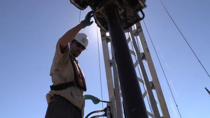
Aqua Survey’s UXO Survey Capabilities
Aqua Survey’s UXO/MEC/MC capabilities include specialty vessels, geophysical survey and remote sensing instruments and precision positioning systems. Using proprietary sediment sampling we can safely collect sediment cores in areas known to have or suspected of having UXO or MEC present. Our certified sediment toxicology laboratory can expertly test sediment samples for toxicity derived from environmental contaminants including munitions constituents. Tissue uptake studies can also be performed.
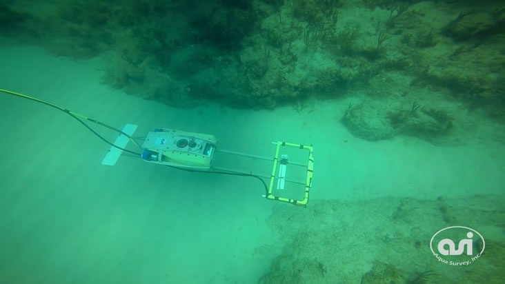
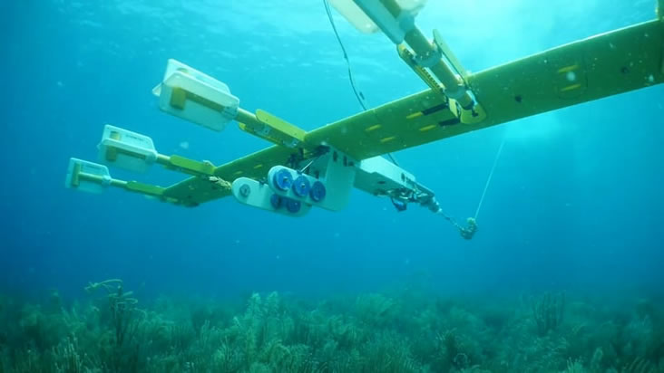
Aqua Survey’s ROV’s provides a nimble survey solution for working in difficult to navigate locations or areas ecologically-sensitive areas where contact with flora and fauna must be minimized. Equipped with an electro-magnetic coil, the EM-ROV is capable of detecting non-ferrous as well as ferrous metals.
Some clients need to pinpoint metal objects while working in ecologically fragile environments or cover large areas quickly. That’s when we deploy UMMA — the Ultra Marine Magnetometer Array Aqua Survey’s team of scientists pilot the UMMA underwater at a precisely predetermined altitude off the seafloor, mapping former military bombing ranges, harbors, and archeological sites for ferrous targets.
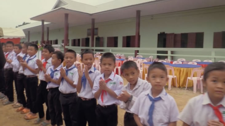
Aqua Survey President Ken Hayes and other patrons celebrate the opening of the new Vieng Xay school in Laos.
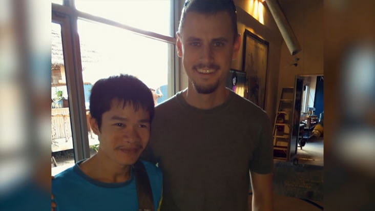
UXO Survivor to Break-Dance Advocate
Sometimes you meet incredible people. Pong, Pongsavath or Peter Kim as he sometimes likes to be called is one. Losing both hands and his eyesight to a Vietnam War Era cluster bomb when he was 16, Pong has persevered where many would have given up.
Jt Cleary, Inc. – Client Testimonial
Jim Cleary on Aqua Survey’s assisting role supporting his marine construction and dredging company.
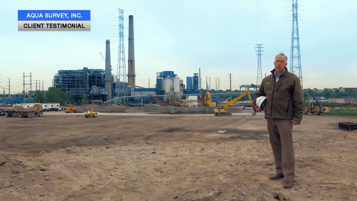
Clean Earth – Client Testimonial
Steven Sands of Clean Earth on their long-lasting relationship with Aqua Survey.
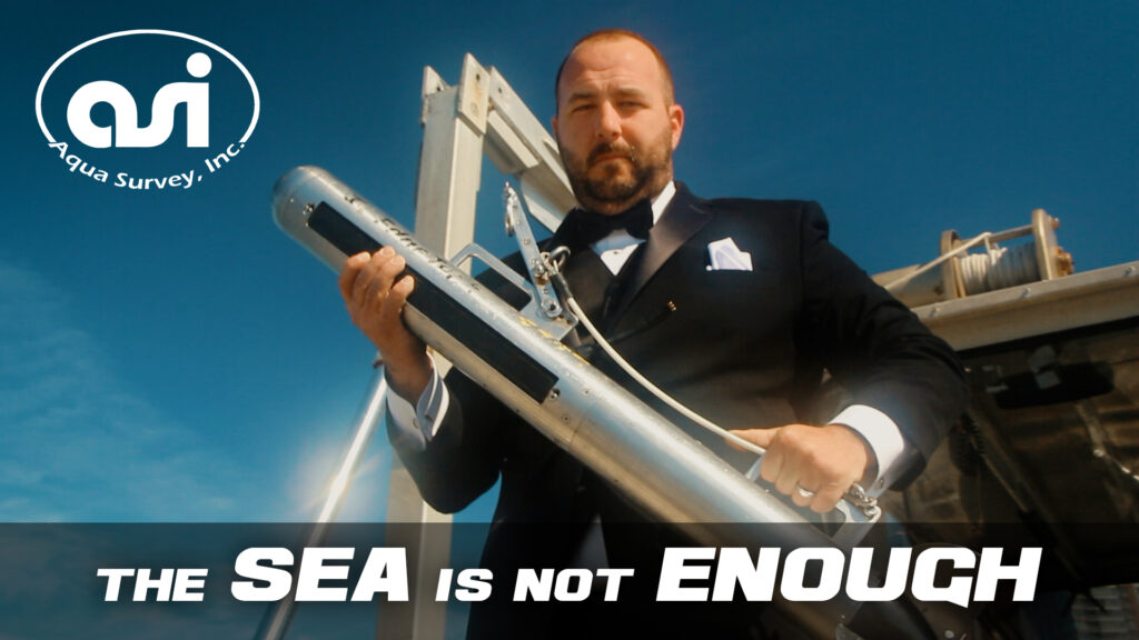
007: The Sea Is Not Enough
The R/V Tesla is a highly maneuverable jet boat designed by Riddle Marine, the shipwrights and engineers behind jet boats of the James Bond movies. See how this unique and spacious vessel can help support your project.
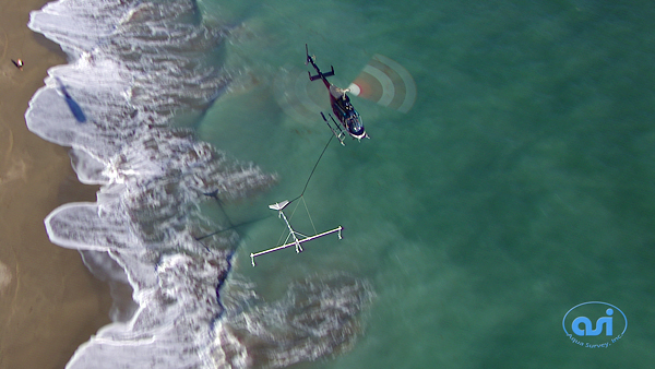
This non-intrusive, floating EM coil survey can map both ferrous and non-ferrous metals. Perfect for lakes and ponds where a below-water engine just won’t do.
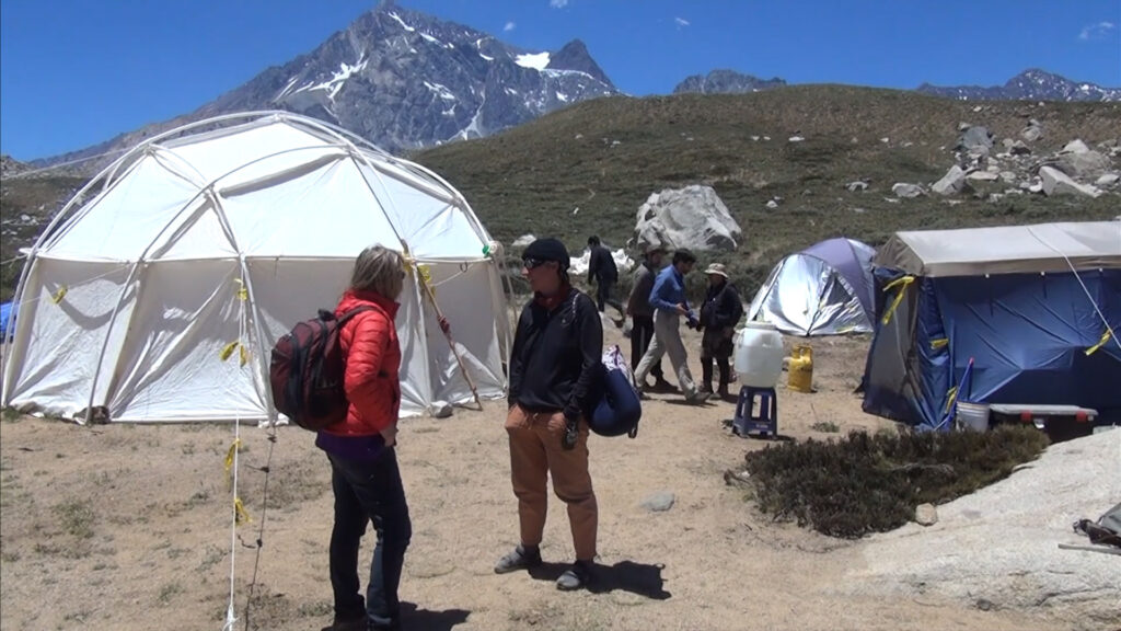
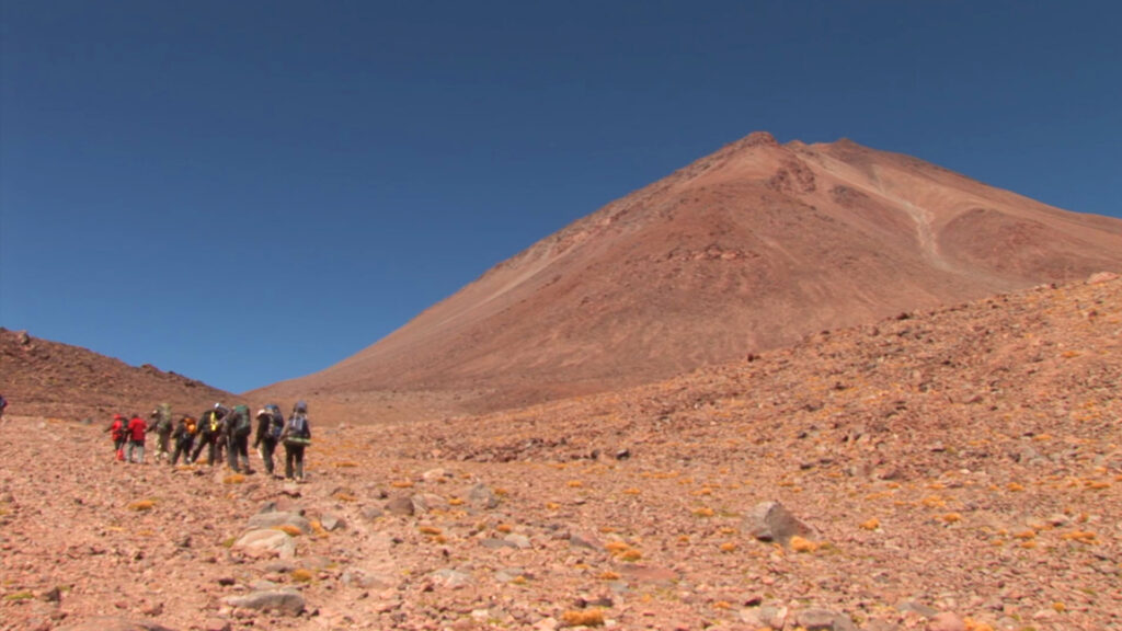
On the shores of Laguna Negra in the Chilean Andes, a group of scientists from NASA and the SETI Institute are preparing for future missions to the lakes and seas of other planets in our solar system.
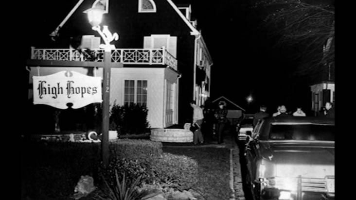
Searching for Key Evidence? Finding a key piece of evidence such as a murder weapon can be a crucial component in an investigation. Read the CASE STUDY here.
On a recent layover in Thailand to continue our work with UXO (unexploded ordnance) in Laos, a few of us at ASI seized the opportunity to venture outside of Bangkok for a day. What we found was the Damnoenssaduak floating market. Consisting of an intricate network of canals, it’s a writhing medley of commerce where everything from exotic fruits to touristy kitsch are hawked daily. Read the full story here.
Laos Episode 1
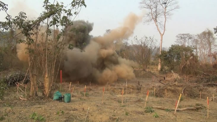
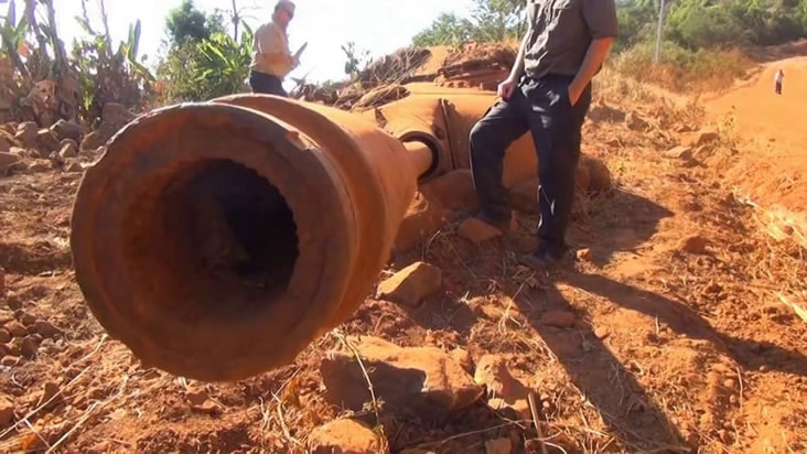
Recently an Aqua Survey team returned from a nearly month long expedition in the small Southeast Asian country of Laos. Their mission was to prove the capabilities of ASI’s bomb hunting equipment in the highly conductive soils of Laos.
Laos Episode 2: Roadside Explosives
Last time we tuned in, the team had just reached the first test site, but now the real challenge begins. Some unexploded ordnance folks say this is one of the toughest places in the world to work. Can they help the people of Laos?
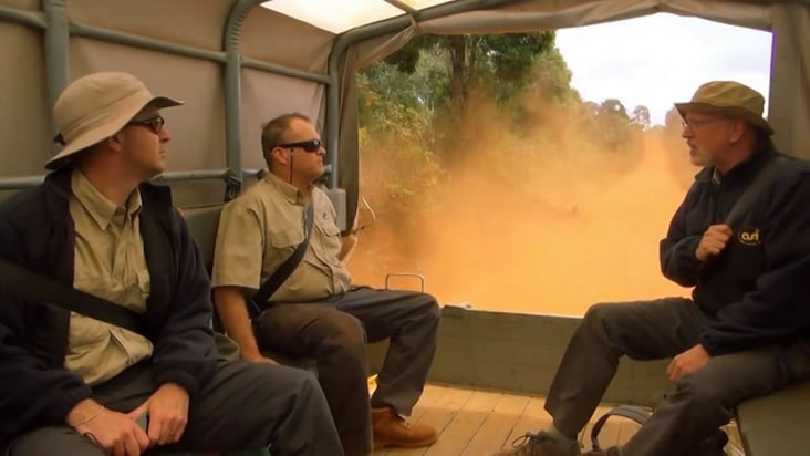
Laos Episode 3: Bomb Disposal
In Laos, the Aqua Survey team hits the road (and water) once again. This time they’re on their way to a gold mine. It’s hoped their techniques can help locate bombs hidden within the mine.
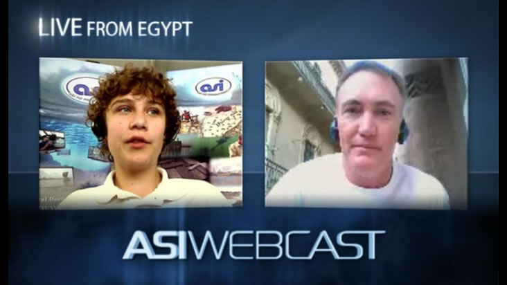
ASI Webcast from Egypt
Aqua Survey archaeological diver Eric Smith interviewed about his historical dive project in Egypt.
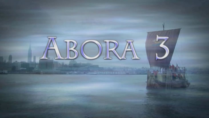
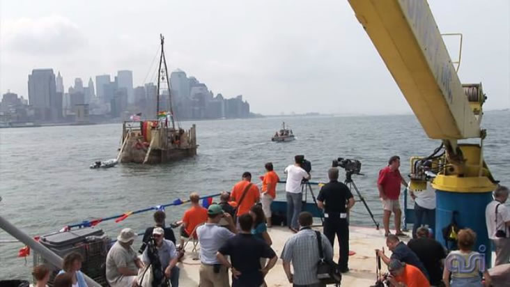
Aqua Survey was a scientific sponsor for the Abora III project, an experimental‐archaeology expedition led by Dr. Dominique Görlitz in which a traditionally constructed craft—modeled on ancient reed‐boat designs—was launched to test the seaworthiness and navigation methods of prehistoric mariners. Researchers sought to determine whether such vessels could undertake long‐distance sea voyages using only the technologies and materials available to early civilizations.
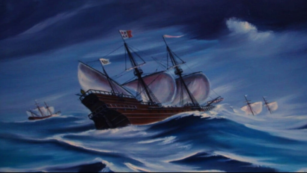
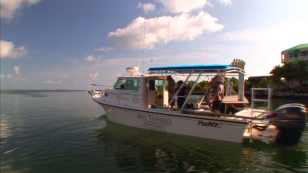
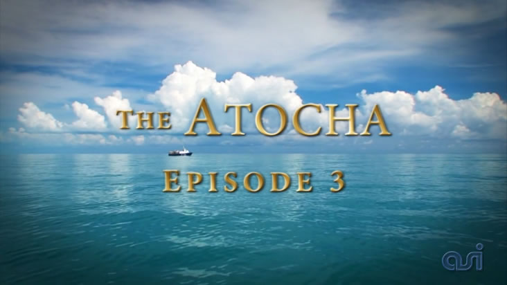
The Aqua Survey team joins Mel Fisher’s Treasures, pinpointing historical artifacts along the Atocha debris trail in Key West, Florida. Aqua Survey employs the new 1 meter diver EM sled to search the bottom and help locate treasure. The divers locate a high priority signal and the Mel Fisher crew decide to excavate. Could they be on the heels of a new stockpile of treasure?
Aqua Survey provided laboratory services to the 2007 NASA High Lakes mission in the Bolivian Andes to study lifeforms that thrive in extreme conditions.
In the United States alone there are over 200,000 submerged acres suspected of containing Unexploded Ordnance (UXO) and Munitions & Explosives of Concern (MEC). These areas are in shallow water zones such as wetlands, freshwater ponds and lakes, estuaries, rivers, coastal bays, tidal flats, ocean shores and coral reefs. As many of the nation’s military bases are closing and being turned over to civilian use, there is a mandate for these areas to be geophysically surveyed to reveal any concealed hazards.
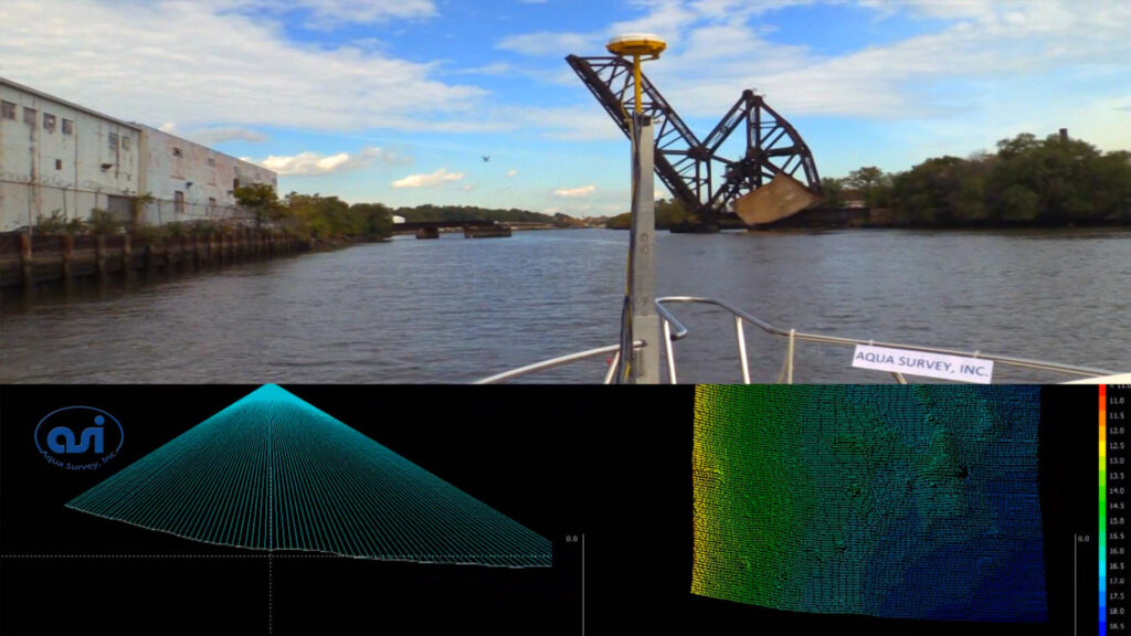
The top image shows the location along the river as well as shoreline structures and features. The bottom left is the sweep window. Each ray represents an individual sounding beam. Combined they constitute a single sweep of data. The line where they end at the bottom shows the profile of the river bottom for that sweep. The bottom right window is the waterfall window. Each individual sweep is plotted at the bottom one after another which results in a three dimensional color coded image of the survey transect.